Had to spend some time looking back over the posts here.
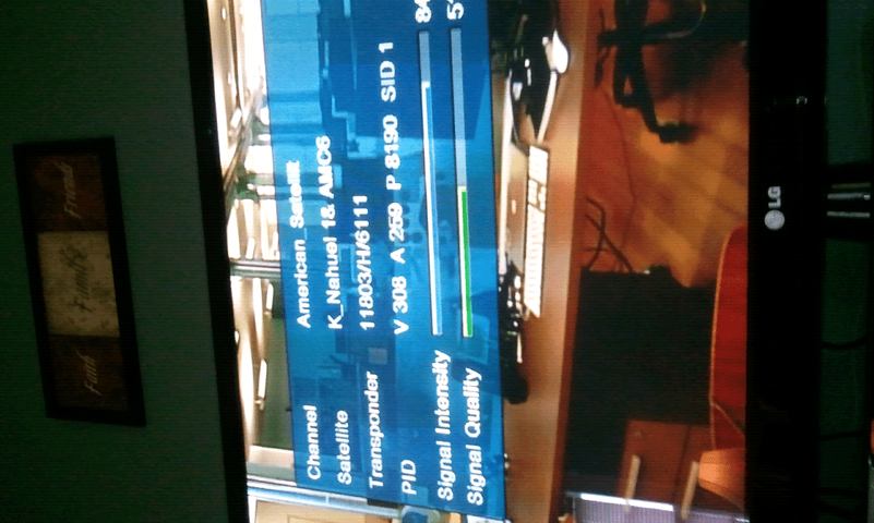
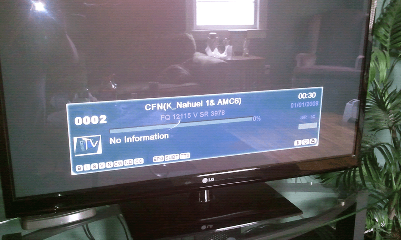
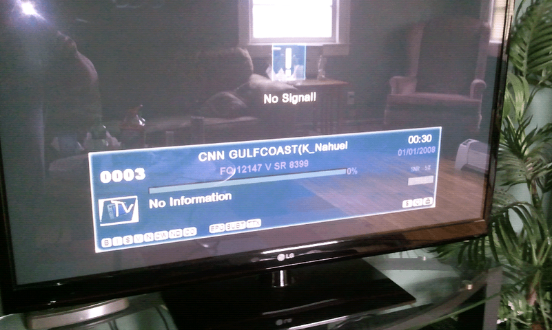
Now another wrench in the mix, nonsteady signal reading. ???
Make sure you have active TP's programmed.
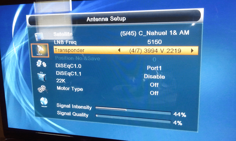
24/7 TP's on 72w I have: 3995 V 2220 (DVB-S ?) and 3937 V 2825 (Pretty sure this one's S2).
(PA cable net moved off this sat a while ago, The LIST needs an update here, it's now on 83w)
Standard C band, 5150 L.O. is perfect for settings.
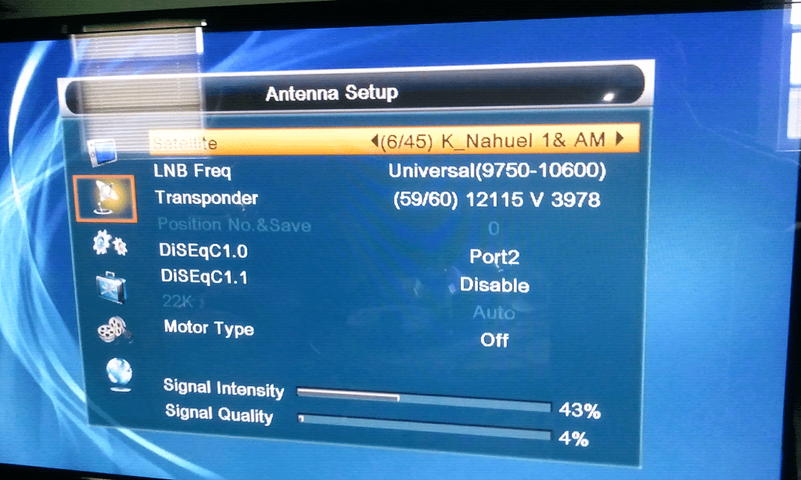
DMX741U, I think diseqc should be port 1 for C band, The Ku settings are not needed until later.
recap:
your Latitude: 36.5°N, Longitude: 76.3°W
Declination
Footprints by Dish Size - Latitude Declination Chart - C/Ku-Band Satellite Listing
~5.8 (the more accurately you can measure and adjust this makes all the rest a bit easier, as inaccuracies will show up as not tracking the opposite side of the arc as accurately, but don't worry, there's an easy way to fix it)
polar angle = (latitude 36.5) or 90 -36.5 = (53.5 polar elevation)
your post #59
Why does dishpointer give me a elevation of 47.---
(53.5 polar elevation) - (dec. 5.8) = (47.7 dish elevation)
36.5 + 5.8 = 42.3 = the dish extreme angle (90 - 42.3 = 47.7=arc elevation at zenith)
or (polar elevation 53.5) - 5.8 = (47.7 dish elevation, at the highest point in the arc)
The only difference in the above numbers is the reference, so they are 90+_ and measured with the other face of the angle finder.
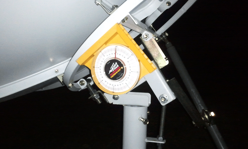
Pic 1 in post #60 looks to be measuring polar latitude ~37 OK
Pic 4 appears to be measuring Dish elevation ~47 OK (add these two numbers with dec, =~90, thats good)
Pic in post #64 is measuring "extreme" angle, subtract reading from 90 for the elevation, or measure as previously in post 60.
I would think you should be close enough to give it a go.
Your most south sat is 72W, a bit east of your location, so move the dish a bit east of the center, (it's highest) with the actuator. Dishpointer.com has a azimuth of 172.8(true) so move it about 7 degrees. dishpointer.com has 72w at an Elevation: 47.4° Which confirms the calculations. moving the dish off of center will lower the dish elevation. SLOWELY, and in SMALL incrementws, twist the mount on the pole, and wait for the receiver to lock signal. Lower SR's require more time. 10 seconds is not unheard of. Once you get lock, peak Q with the polar elevation adjustment. Then move the dish, WITH THE ACTUATOR ONLY, to sats further and further from center. Adjust the Azimuth, (twist of the mount on the pole) ONLY, to peak your Q readings. When you get all the way to the end, lock it down and check the elevation at center again. If only a very small correction is necessary, you should be good, check the other side of the arc. You should track C band perfectly, before attempting Ku.
THink of it this way, at the equator, the polar latitude angle would be zero, horizontal. The polar elevation would be 90, straight up. (and the declination would be zero because the sats are directly overhead)
At the north or south pole, the polar angle would be 90, straight up, the polar elevation would be zero, to the horizon. (the declination would aim the dish towards the plane of the equator, out in space, (down) the maximum amount possible)
All points in between these extreemes are, well, between these angles.
THis may seem like a lot to comprehend, but necessary to understand the geometry of properly setting a polar mount to track the arc. But when you've done it, the sense of accomplishmint will be an overwhelming joy. And, the next step, FINE tuning it for Ku, will go smoother,
(Oh, how I hope I haven't confused, myself or you, more)


