Put your full address in here, select the satellite (ours are "W" so 101W etc) then press SEARCH: DishPointer - Align your satellite dishI need to know the declination angle for a cband satellite at 41 degrees latitude
I need to know the declination angle for a cband satellite at 41 degrees latitude
Put your full address in here, select the satellite (ours are "W" so 101W etc) then press SEARCH: DishPointer - Align your satellite dish
That's a question for the FTA sub-forum.
Are you looking for SES 6?
Put your full address in here, select the satellite (ours are "W" so 101W etc) then press SEARCH: DishPointer - Align your satellite dish
Ok I looked up 101w and the difference between true and actual was 7.2 is that my declination then?
So you're using a polar mount. Fine. Declination angle never changes once set. Same as your elevation (latitude). And azimuth. All depends on how accurate the initial settings are.
and my next question is when I look up 133 west it changed to higher number like 7.7 for difference.
Look at our other posts. Especially the satellite arc chart showing errors and the solutions. Very helpful and valuable.
133W changed to 7.7....what? The polar mount, when setup correctly, will take care of all of your geometry.
I'm trying to get 55west to 133 west like I was getting before I changed out ballbearings.91 west comes in at very high signal and so does 103west but 101west when I scan it I was getting travel channel wich never seen open ,hallmark ,and daystar and when I go down to 103 I'm getting everything I had there plus laugh tv bunch that was never there why would I have decent quality on those but satellites between very sketchy especially 101 I liked the me tv bunch
The arc chart will help you find out why. 91W and 103W is coming in good. Ok. 101W is very close to 103W.
Did you move the dish on the pole so as to upset the true South alignment?
Get your strong satellite signals peaked as high as you can. Then. Pull and push the bottom of the dish rim to aim it higher or lower and see if the signal changes. Do it on 91W. Write it on paper. Like "push or pull".
Go to 103W. Do the same. And the same for 101W. How about 99W? 105W? You get it.
Then refer to the dish tweak chart and start figuring it out.
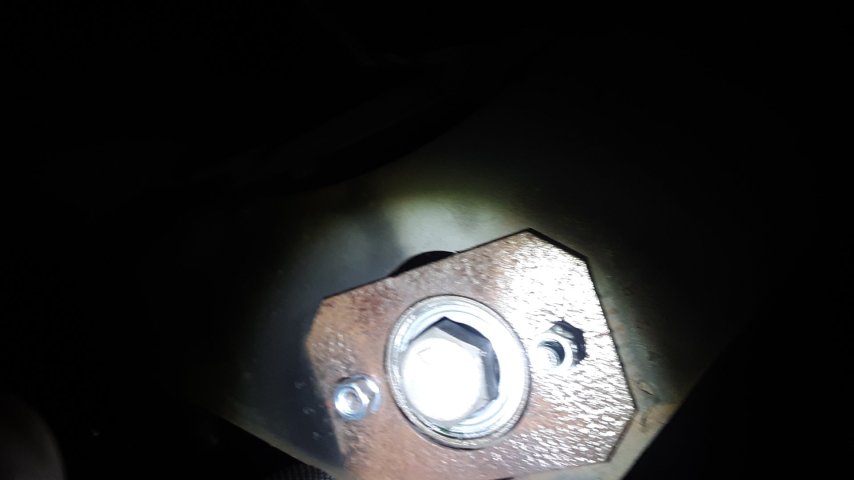
Ball bearings? Did you replace the pivot bearings? Or do like me and swapped the worn out bushings and bolts for pillow blocks? How much did you change the mechanical dish alignment settings?
Let's focus here. It can all be fixed with a bit of wth is going on.
I'm at 43 north latitude, and the declination is very close to 6.0 degrees (within a couple hundredths).Ok I looked up 101w and the difference between true and actual was 7.2 is that my declination then?and my next question is when I look up 133 west it changed to higher number like 7.7 for difference. I'm trying to get 55west to 133 west like I was getting before I changed out ballbearings.91 west comes in at very high signal and so does 103west but 101west when I scan it I was getting travel channel wich never seen open ,hallmark ,and daystar and when I go down to 103 I'm getting everything I had there plus laugh tv bunch that was never there why would I have decent quality on those but satellites between very sketchy especially 101 I liked the me tv bunch
Personally I would start at the bottom inset of the attachment.I'm at 43 north latitude, and the declination is very close to 6.0 degrees (within a couple hundredths).
41 degree latitude should get you in the neighborhood of about 5.7 degrees.
If you are in Ohio, due south is going to be considerably further east than 91 West, but not necessarily
on an active C-band satellite. You may have to split the difference between 87 West (Ku band: Louisiana PBS) and perhaps the NIMIQ DBS satellite at 82 West. Please confirm your exact latitude and longitude, and we can be more precise on declination numbers as well as true south setting.
Personally I would start at the bottom inset of the attachment.
Figure out where the major tracking error is happening and then making adjustments to minimize them.
Then work wider and
41 is right at my latitude, and my old C-band memory is telling me it's 6 deg.
To my thinking you don't really set the elevation first, but rather the declination. Then you point the dish south with the polar axis aligned straight N-S and mount locked on pole and bring the elevation to a generally expected positioning and start signal searching. Once you have signal looking due south optimized for elevation you can try motoring to east or west and see if you can continue to pick up signals. If you then find signal toward E or W but it requires elevation adjustment, then you can try very small azimuth adjustments to either E or W (mount on pole) to find the balance that allows the same elevation setting to peak signals both up high in the arc (S) and down lower to either (or both) E or W.