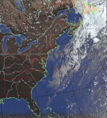
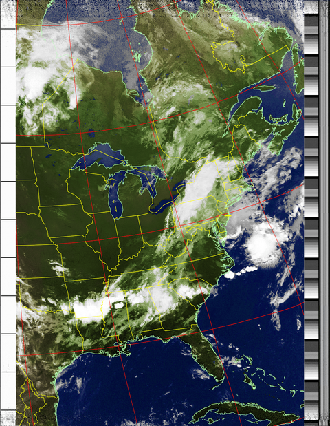
East Coast Satellite Image
- Thread starter spongella
- Start date
- Latest activity Latest activity:
- Replies 11
- Views 2K
You are using an out of date browser. It may not display this or other websites correctly.
You should upgrade or use an alternative browser.
You should upgrade or use an alternative browser.
Nothing exotic at all, just a $13 dongle. Using narrowband FM on SDR# and WXtoIMG software with Virtual Cable software to feed audio from SDR# to WXtoIMG.
Nothing exotic at all, just a $13 dongle. Using narrowband FM on SDR# and WXtoIMG software with Virtual Cable software to feed audio from SDR# to WXtoIMG.
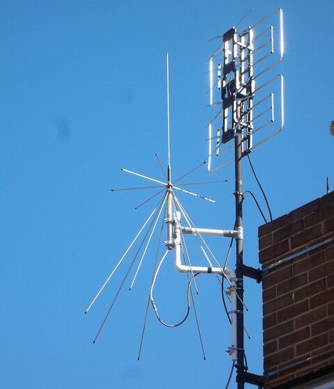
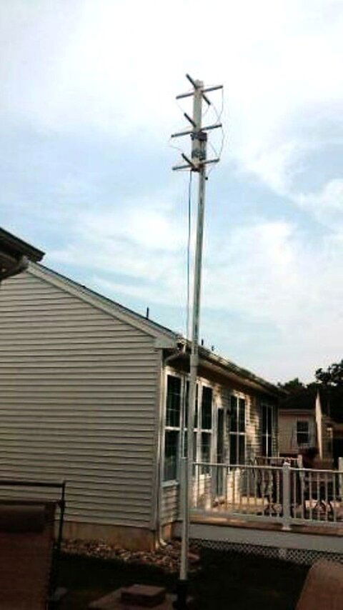
I'm good to go because that is my exact setup. I just need to mount the antenna, outside, on my workshop.
To make it more interesting you can track the satellite on N2YO or Satview and see at what elevation you see the signal and hear the audio tones.
I found there are times that I can hear the audio tones before the signal shows up on the water fall.
I also have the Orbitron plugin for SDRsharp so I can have Obitron take care of the Doppler tuning.
Happy Satellite hunting.
I found there are times that I can hear the audio tones before the signal shows up on the water fall.
I also have the Orbitron plugin for SDRsharp so I can have Obitron take care of the Doppler tuning.
Happy Satellite hunting.
Similar threads
- Replies
- 2
- Views
- 802
-
- Poll
- Replies
- 5
- Views
- 2K
- Replies
- 12
- Views
- 2K
- Replies
- 2
- Views
- 1K


