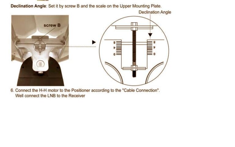
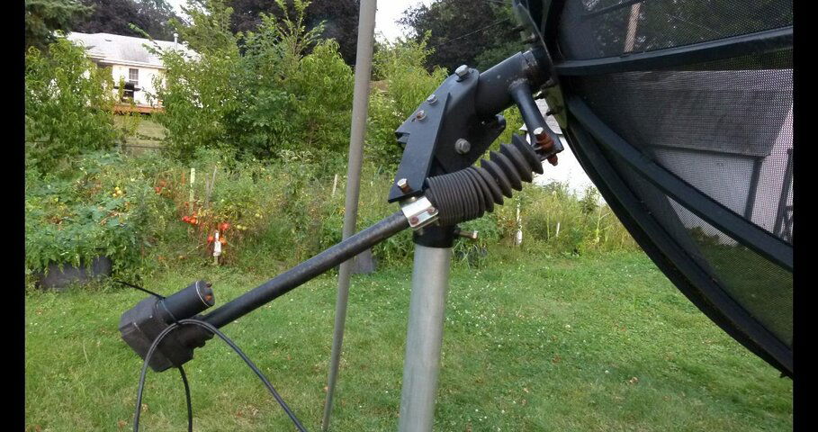
The polar axis angle should be very close to your latitude in degrees from horizontal. Horizontal being 0 degrees. Straight up being 90.
Don't factor the declination angle unless measuring the dish angles.
Polar axis angle is latitude.
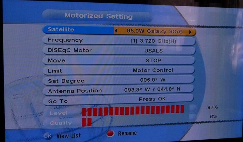
If your horizontal reading of the polar axis is 90 subtract latitude. 90-
44.8 = 44.2
After the initial settings for your zenith satellite you fine tune the angles to maximize reception on your zenith satellite. Step 2 is to adjust your azimuth. Without performing step 2 tracking the arc is a 'crap shoot'. You may get some, but would most likely miss most, especially at the ends closer to the horizon.
Step 2 Use the actuator and twist the dish mount on the pole(Azimuth)
ONLY to peak readings on satellites away from Zenith.
Once done and reading are peaked on the last satellite at the end of the arc, you can begin programming locations in the mover and scanning satellites.
http://theho.web.fc2.com/BUD/4066/
To determine the (unknown) declination setting: Measure the polar axis angle (Latitude angle in the picture) Use the actuator to move the dish to it's highest point and measure the angle of the dish face. A straight edge vertical spanning the face is a good place to measure this. The difference is the declination.
RULES: NEVER adjust declination after you've 'set it' correctly.
NEVER adjust elevation (Latitude angle) unless you're aimed at Zenith.
Better performance, I.E. 'tracking accuracy' can be had by employing Modified declination settings. "Modified declination* for
44.8N should be 6.18 and the latitude angle (Polar axis) will be close to 45.66
"normal' declination angle is 6.8 (first chart @ http://www.geo-orbit.org/sizepgs/decchartp.html )
*Second chart on the geo-orbit site. also at my page at
http://theho.web.fc2.com/BUD/8495/


