Obstacle Calculation

Status
Please reply by conversation.

al_madhi

SatelliteGuys Family
Original poster
Feb 6, 2005
81
0
Riyadh - Saudi Arabia
Hi guys , wondering does this formula " R = D x TAN A " works precisely to locate the best site for the the dish when comes to objects block a clear view to satellite such as big trees , higher buildings , this formula applied only when the dish on the ground level , but what about if the dish is on the top of a building lower than obstcale objects , how to use the formula .

Any thoughts you would have be greatly appreciated .


cheers
 
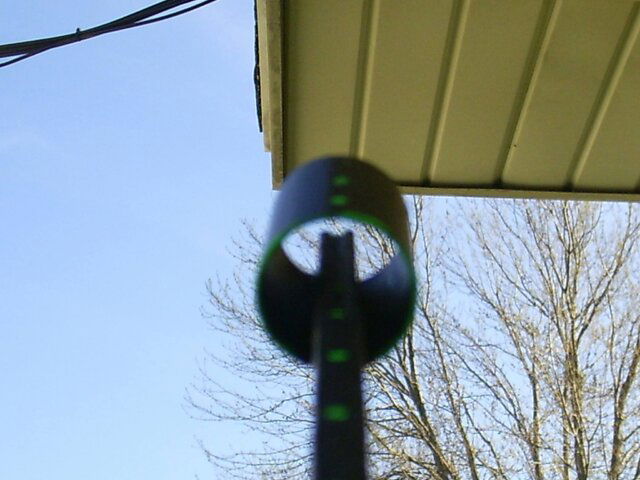
I figured out the elevation and azmuth for a few key sats and eyeballed it. I thought it was going to be close but it actually went pretty nice. Check out the pics for my Dish's point of view. It's about 30' back from the house.
 
Last edited:
You folks are going to laugh, but when I chose a site for my BUD i made my own device to determine the best location. I used the following bits and pieces that i had either laying around or easily "borrowable".

a 4' level
a carpenters "speedy" square with angle markings
a camera tripod
a 3-9x rifle scope (small telescope, low power, would work also)
2 small clamps

What i did was this: i took and mounted the 4' level to the top of my camera tripod with zipties. I then took the rifle scope and attached that to the bottom plane of the carpenters square (with zipties of course). By clamping the carpenters square (with scope attached) to the level i could determine the angle (elevation) the scope was pointing at. The nice thing about using a camera tripod for this application is you can swivel the top mount, so its easy to ensure the tripod is level and plumb, just like you want the dish mast to be ; )

I set the angle (elevation) i wanted on the carpenters square (relative to the level) using the angle marks on the square and clamped the square to the level. Using a compass i pointed the whole apparatus at the lowest part of the arc and looked thru the scope for obstructions. I then checked for the next sat. up. While swinging the whole apparatus around on the tripod I repeated this process thruout the arc to ensure a clear LOS to all of the arc. Only took me about 30 minutes to do a "site survey" and the process worked excellant.
[edit- attached diagram]
 

Attachments

  • diagram.BMP
    165.1 KB · Views: 156
drhydro said:
You folks are going to laugh, but when I chose a site for my BUD i made my own device to determine the best location. I used the following bits and pieces that i had either laying around or easily "borrowable".

Very nice, before I got my site survey meter I used the below device, I had one made for all the key satellites.
 

Attachments

  • Pict0002.JPG
    Pict0002.JPG
    194.3 KB · Views: 219
  • Pict0002.JPG
    Pict0002.JPG
    2.1 KB · Views: 246
Status
Please reply by conversation.

Two LNB on a motorised dish

What Strong Satellites are between T5 and G10R?

Users Who Are Viewing This Thread (Total: 0, Members: 0, Guests: 0)

Who Read This Thread (Total Members: 1)

Latest posts