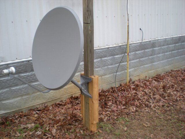
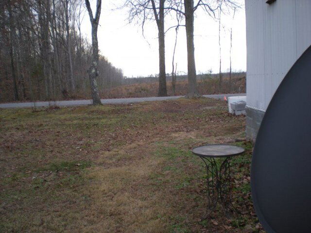
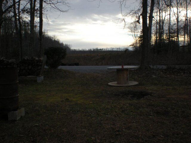
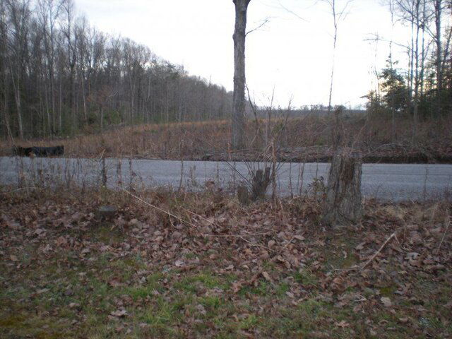
The satellite closest to true south (the highest satellite for your location Brokenburg, VA) is 77w, but there isn't any FTA KU on that satellite. I would aim for SES2 at 87w for your first satellite as it is near the center of the arc and will be easiest to locate. Use Dishpointer to find the compass reading, elevation and skew setting based on your location:
http://www.dishpointer.com/
Your approximate location information for aiming to the SES2 satellite
Satellite Data Dish Setup Data
Latitude: 38.1456°
Longitude: -77.7192°
Name: 87W SES-2
Elevation: 44.7°
Azimuth (true): 194.8°
Azimuth (magn.): 205.0°
LNB Skew [?]: 11.6°
Aim the dish to approximate compass reading 205 degrees. Identify a landmark in the far distance that aligns with this compass reading (tree, chimney, etc.)
Standing in front of the dish rotate the LNBF in the clamp CCW approximately 12 degrees and slide it forward/aft to the centered position. Slightly tighten the clamp.
With the straight edge on the vertical axis of the dish, set the elevation to approximately 20 degrees tilted back from vertical, which is 70 degrees per your angle finder (90 - 70 = 20). Here is the math: Satellite elevation angle - Dish offset angle = Angle measured on the face of the dish. Slight;y tighten the securing bolt.


