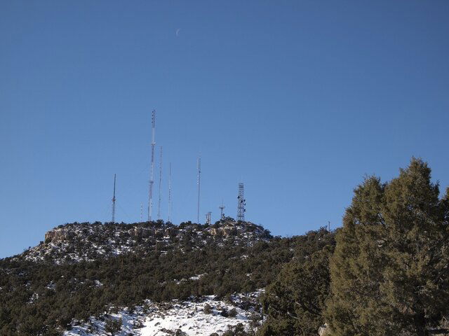
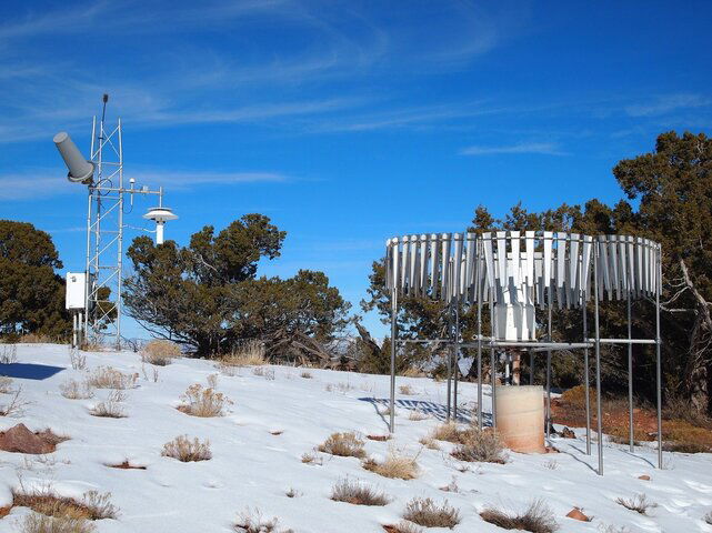
It's a Remote Automated Weather Station (RAWS) There are a few thousand of them in the U.S. Most of the ones around here have a 400 MHz cross yagi antenna pointed at a NOAA GOES satellite. Not sure about the gray antenna pointed skyward in your photo. Looks too small for 400 MHz, maybe some now have L Band antennas?
From your photo, I'm guessing that the wire brush looking thing sticking above the tower is to bleed off static electricity, in an attempt to prevent lightning hits. The arm off the right side of the tower looks like it has a small GPS antenna on it. The large white mushroom thing looks very similar to the temperature sensors around here. A fan inside the bottom of the stem blows air up and out the "gills" of the mushroom. Sensors inside the stem measure temperature and dew point. The white top keeps the sun from heating it up. And of course that is a rain gauge on the ground to the right of the tower.
Here is a link where you can look at data from any RAWS.
http://mesowest.utah.edu/
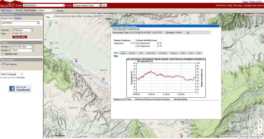
Click on the state of interest, then on the upper left side, were it says Network: select All Networks from the drop down box. Then click on Refresh Map. Hover over the black dots to get some weather info, or click on the dot to get graphs and more detailed weather info. Usually somewhere they have the Lat and Long of the weather station, so you can find it on Google Earth.
Here is a screen capture of data from what I think is the weather station in your photo. FaT Air is right, clicking on the wind buttons shows no data available.


